Monte Tarn - The Trek that Keeps Us Coming Back
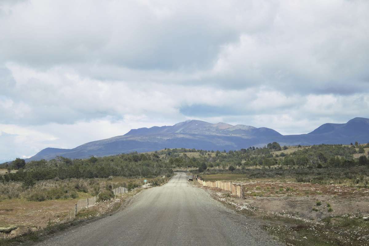
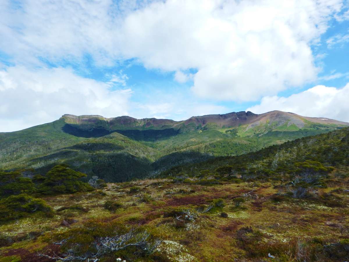
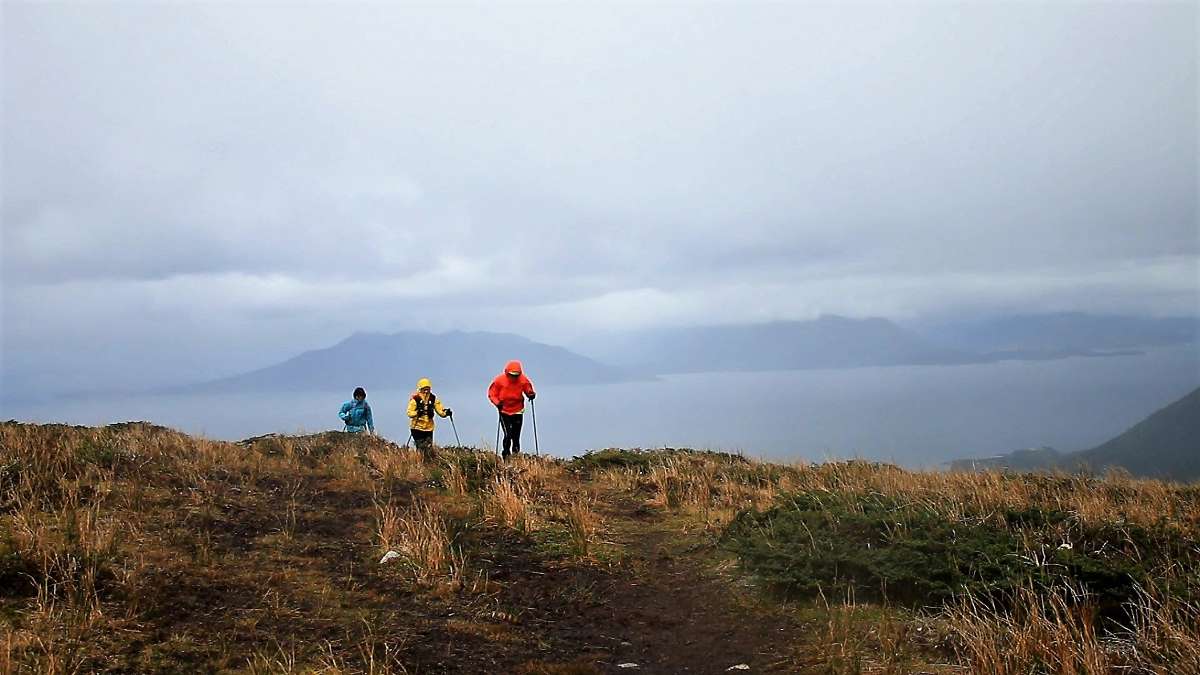
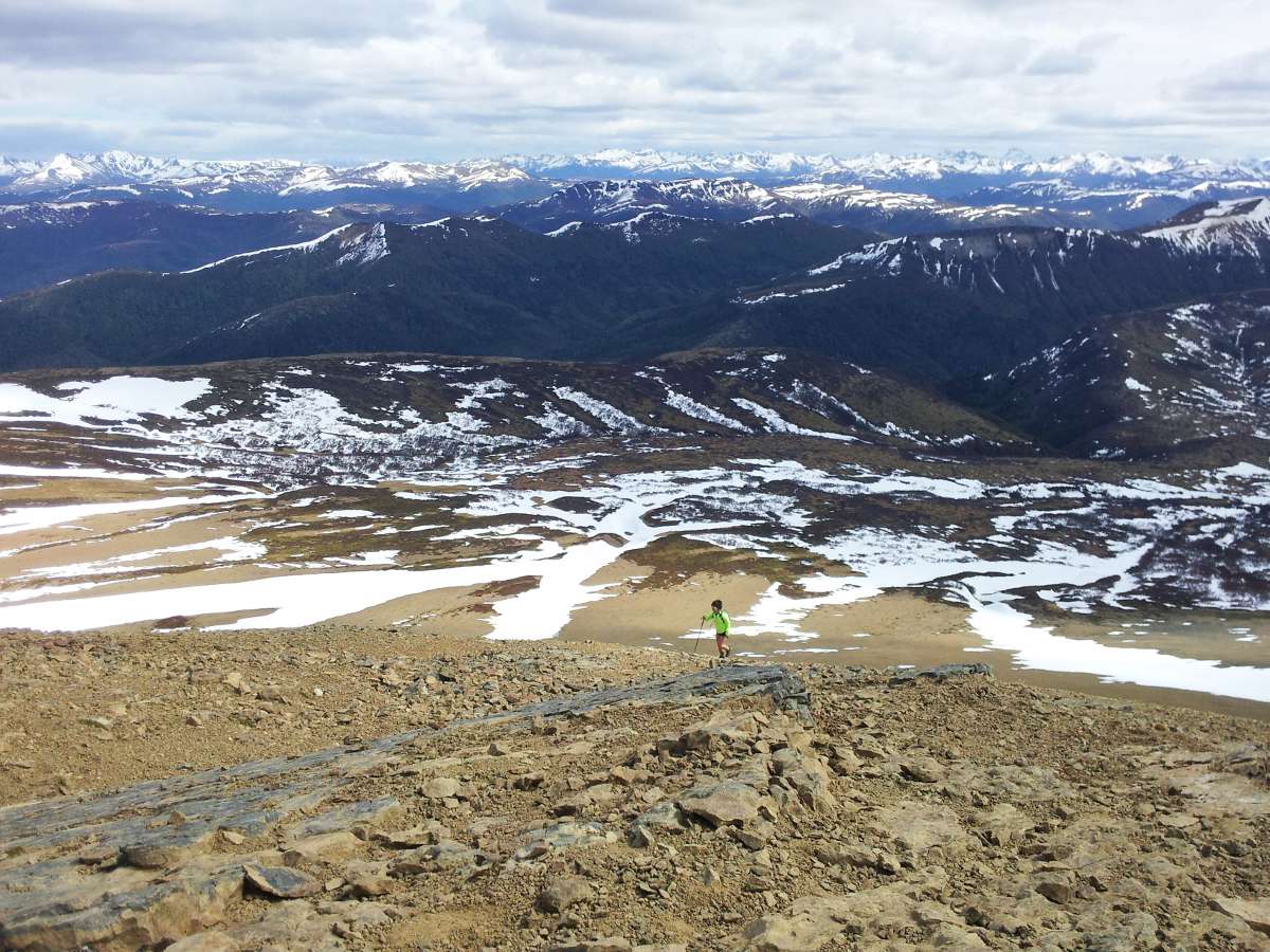
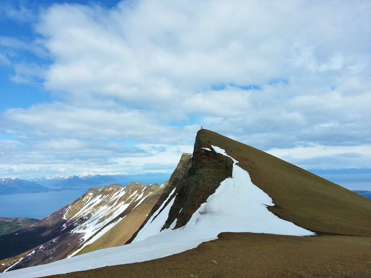
Monte Tarn (825 m) lies about 70 km south of Punta Arenas, at the southern terminus of Route 9. The trek to the summit has been a favorite of ours ever since we were living in Punta Arenas in 2013 (take a closer look at our logo!). A lot has changed since then. They’ve extended the road further south, and it now ends just shy of the trailhead. There are significantly more trail markers. There’s even a flag at the summit. Although it doesn’t feel as wild as it had been, the incredible views of the Strait of Magellan and Brunswick Peninsula are hard to resist.
Background
- Trek Name: Monte Tarn
- Total Distance: ~14 km out and back
- Location: Southern Terminus of Route 9 (see map below)
- Closest City: Punta Arenas, Chile
- Duration: ~5 hours (hiking)
Our Experience
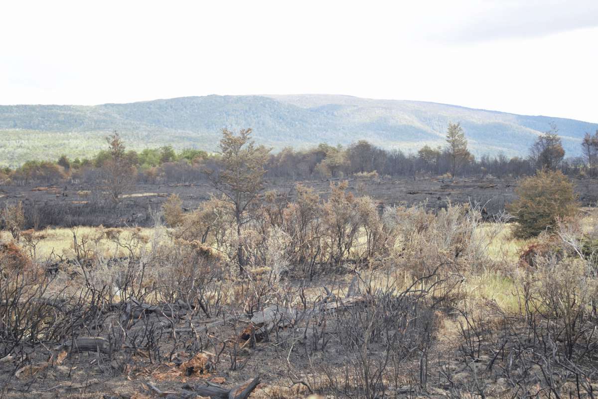
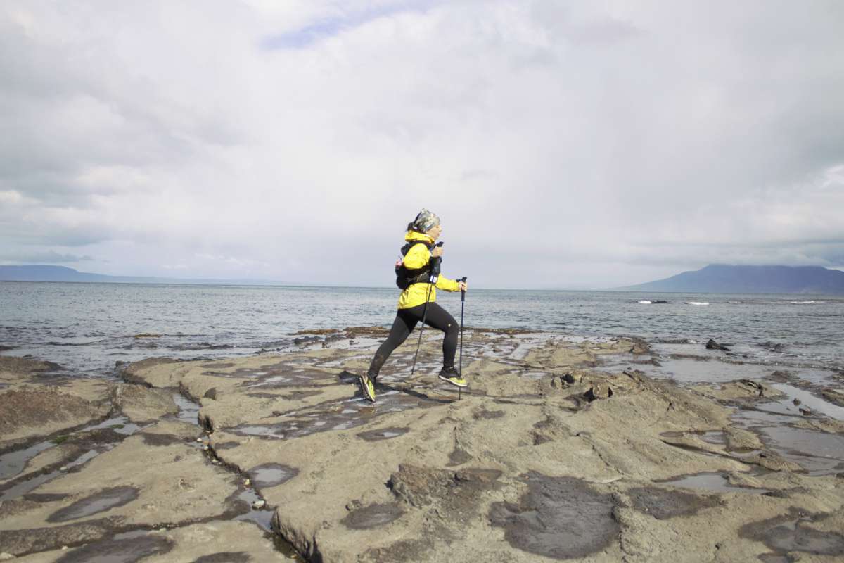
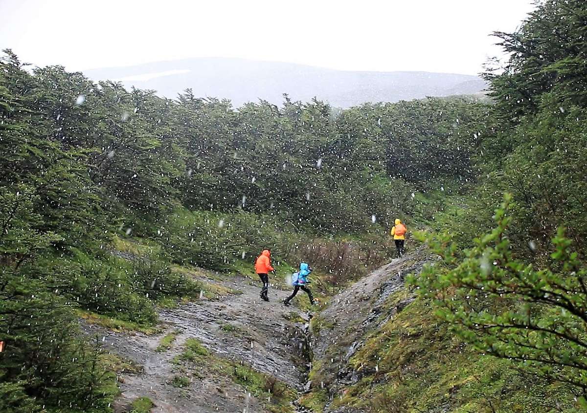
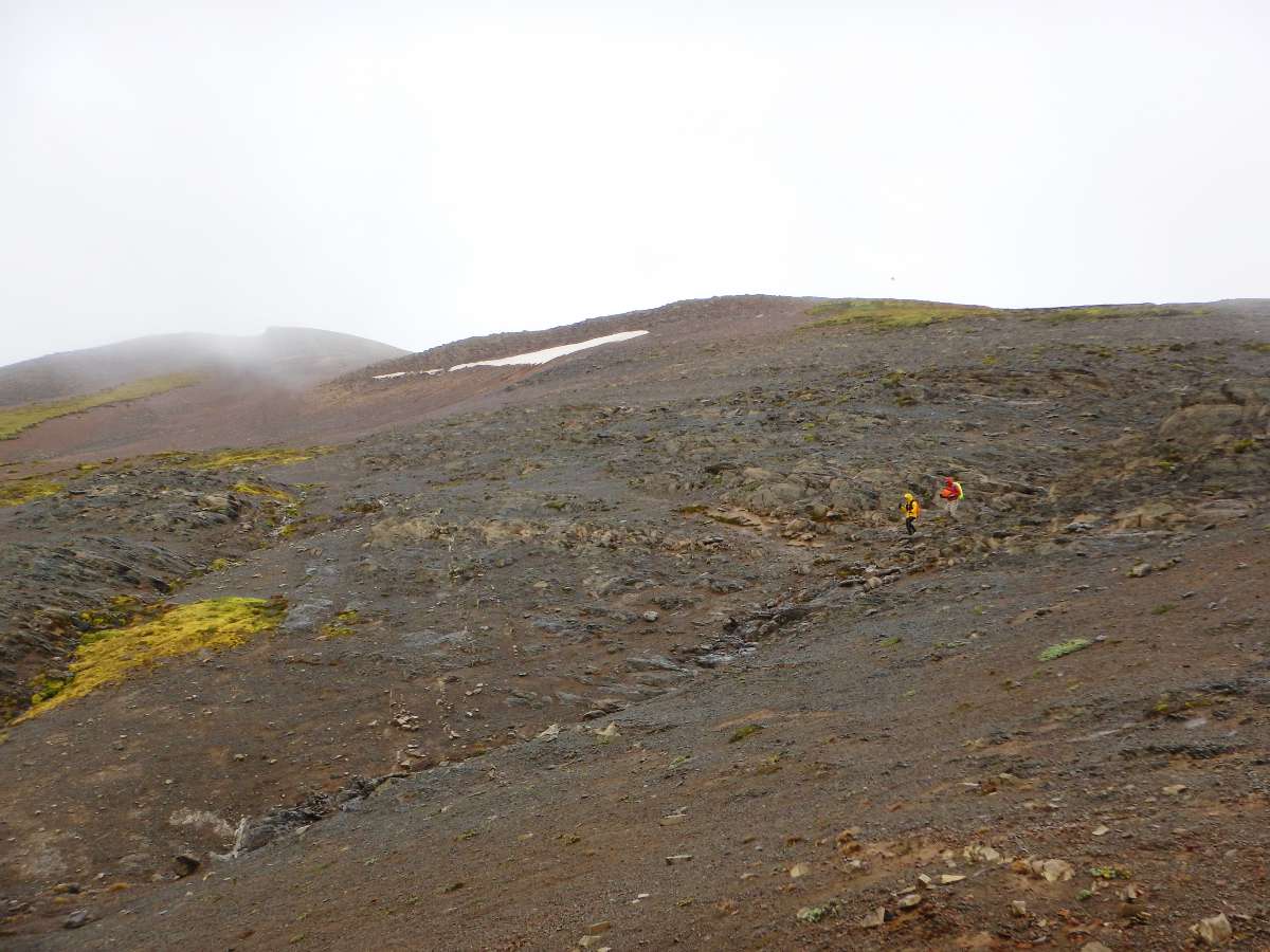
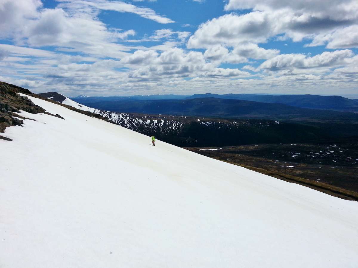
On December 21st, 2016 the forest fire in San Juan finally stopped and the Carabineros reopened the road south, so we jumped on the opportunity to give Monte Tarn a try. What better way to spend the summer solstice. We started the trek along the Strait of Magellan with blue skies. We ascended quickly as the weather started to change halfway up the mountain – rain, then sleet, then big, fluffy snowflakes. The wind gusts and cold became unbearable as we approached the summit ridge. So close, but just not worth the risk. About 30 minutes from the summit we decided to turn back. The top of the mountain was shrouded in stormy clouds. Monte Tarn won this time but we will be back for future adventures.
Recommendations
- This trek can be accessed via rural bus from Punta Arenas to San Juan (last stop), but this adds significant distance (~9 km one way) to the trek. Buses also do not run frequently. If you’re doing it for a day we would recommend renting a car so you don’t spend so much time on the road. Hitchhiking is also an option but depending on the day it can be hit or miss.
- Water sources: there’s a waterfall at the beginning of the trek and a river about halfway through.
- Lots of turba – gaiters a must.
- If you have more time, pair this with a trek to San Isidro Lighthouse or Cabo Froward.