Trekking Lago Blanco to Cerro Cuchilla in Tierra del Fuego
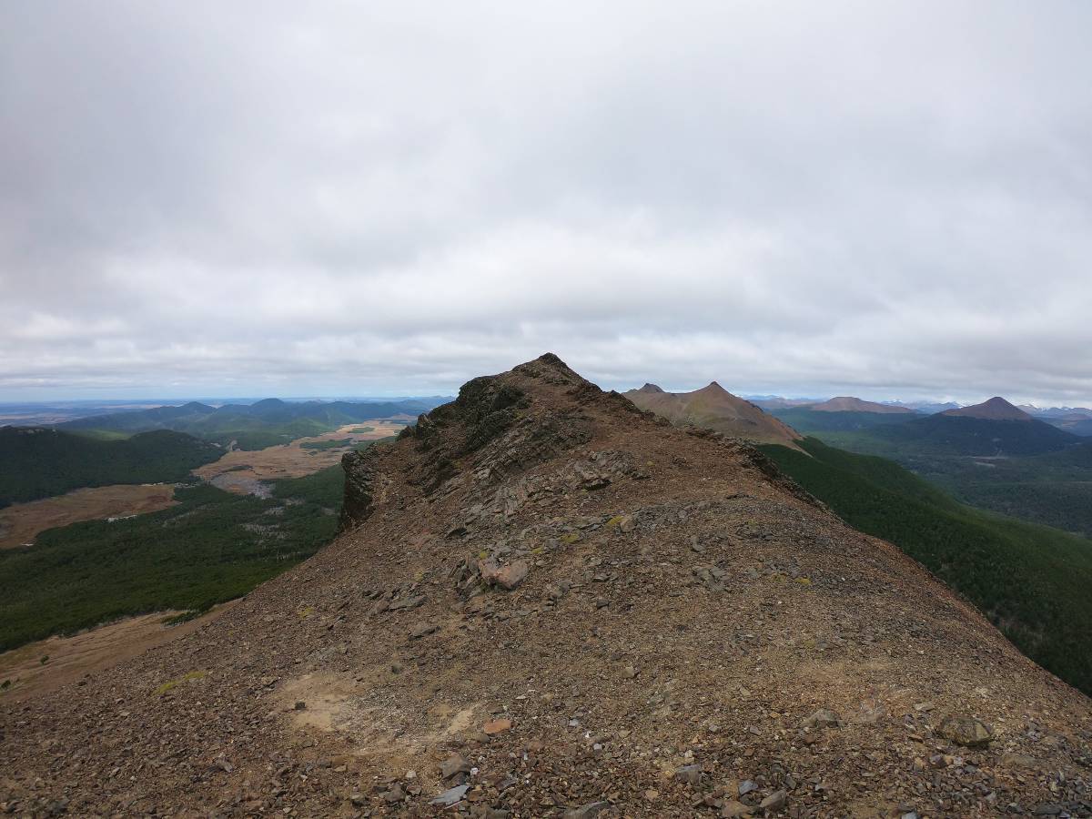
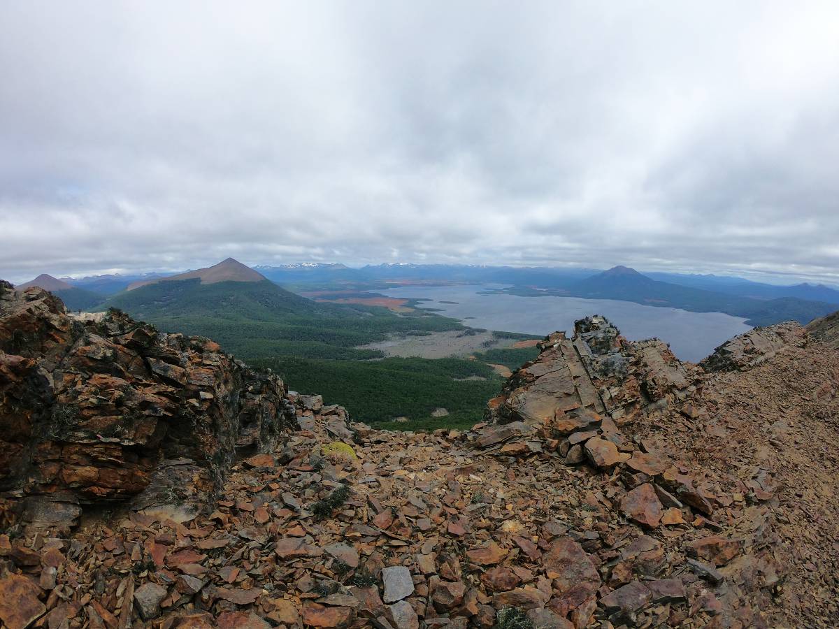
Cerro Cuchilla is an iconic mountain located near Lago Blanco in Tierra del Fuego, Chile. The actually trail up the mountain is basically non-existent (we mostly followed guanaco paths). At the summit there are incredible views over Lago Blanco and the mountains in the south of Tierra del Fuego.
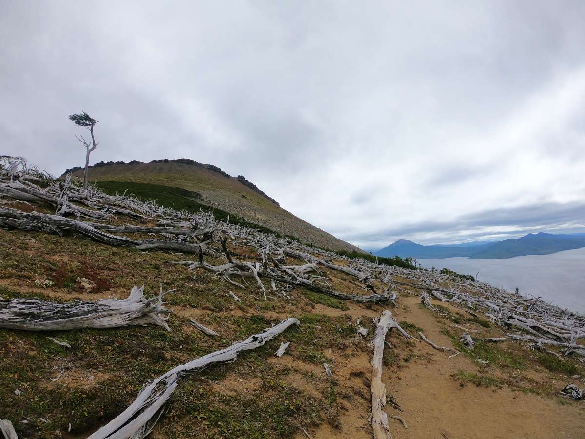
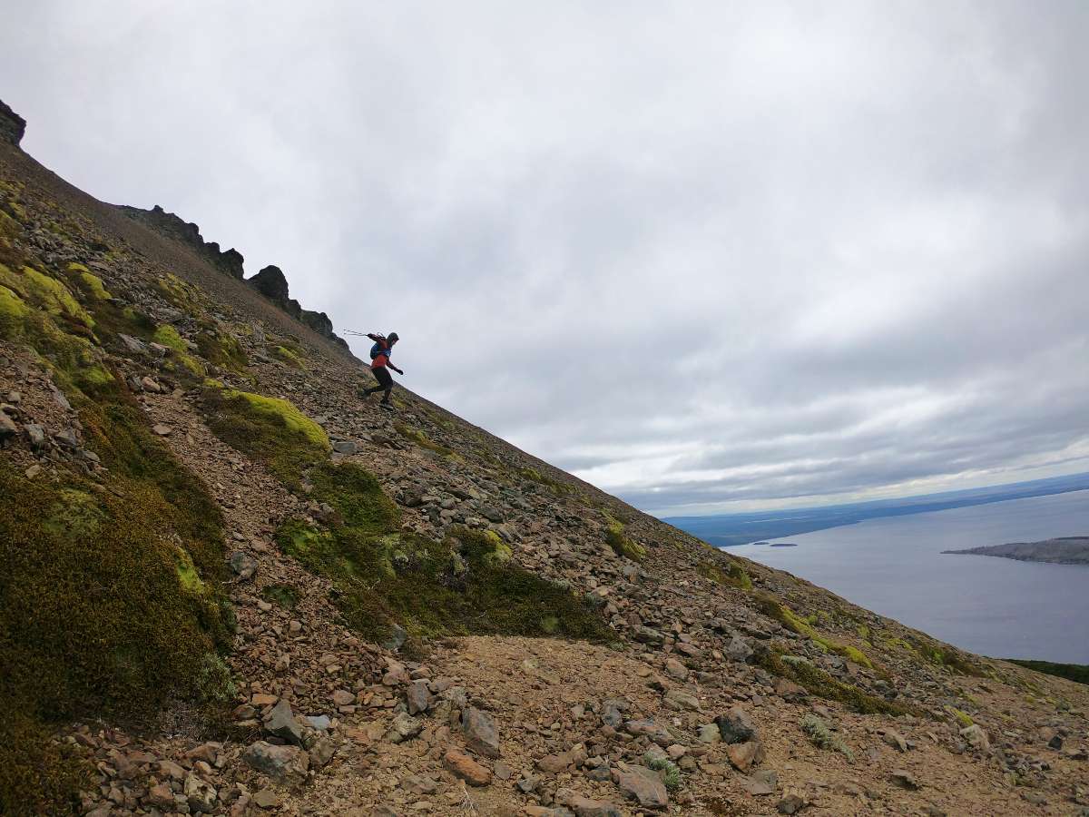
This mountain isn’t particularly tall (800m) but definitely aptly named. The last 300m of ascent are a straight shot up slippery scree to a razor blade like summit, completely exposed to the thundering wind gusts of Patagonian summer. Not somewhere to dawdle.
Background
- Trek: Out-and-back Lago Blanco to Cerro Cuchilla
- Total Distance: 14.5 km
- Location: Timaukel region, Tierra del Fuego, Chile (see map below)
- Closest City: Pampa Guanaco, Chile
Route Description
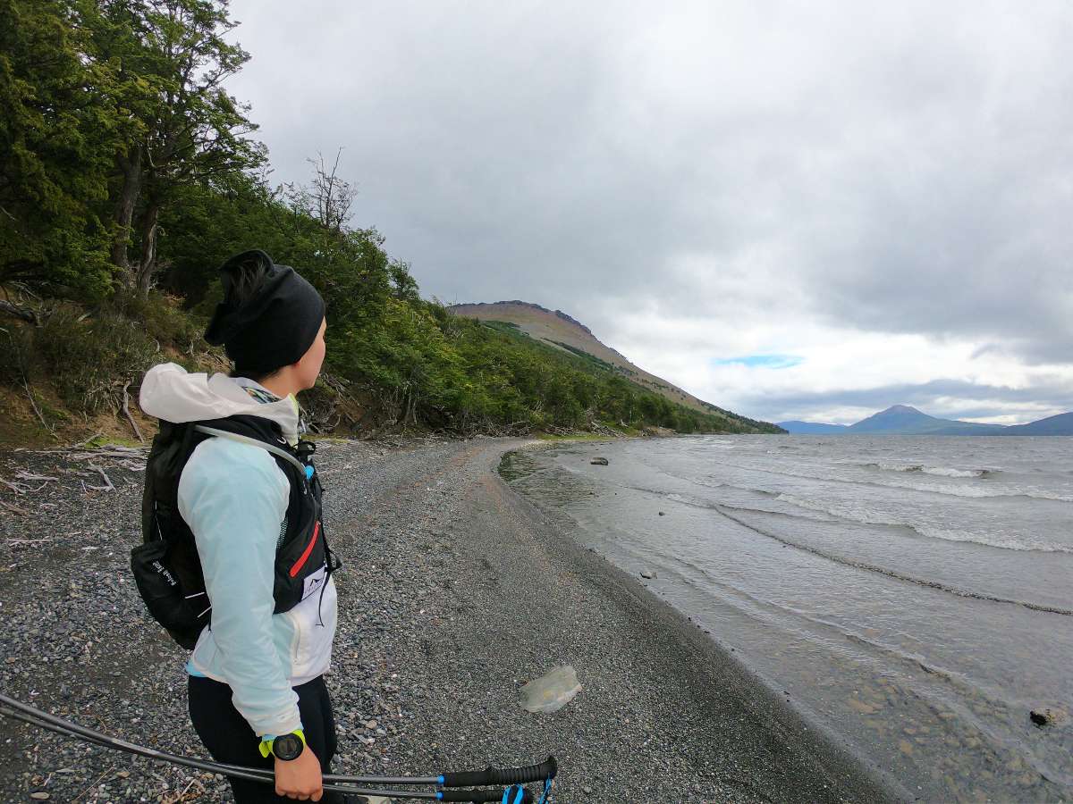
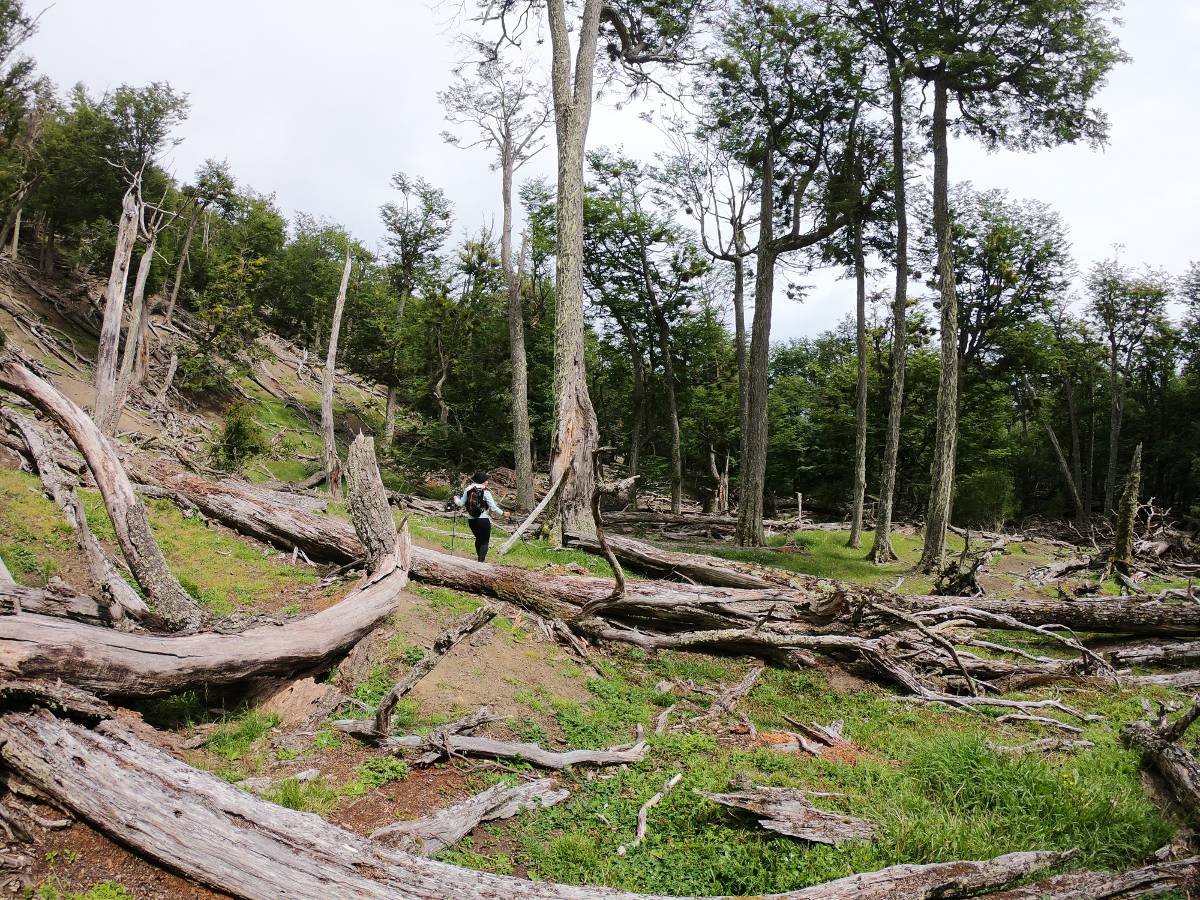
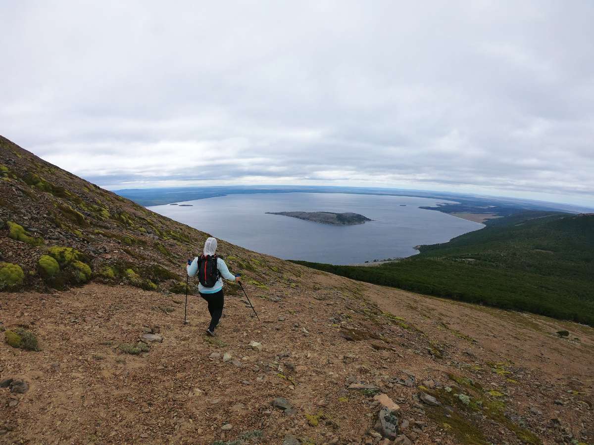
The trail begins on the south side of the primitive camping area on the eastern shore of Lago Blanco. It begins as an easy to follow path along the lake. Eventually the trail along the shore ends as the sandy coast is replaced with jagged rocks and small cliffs. At this point we turned left into the forest and kept ascending, sometimes following animal paths and sometimes bushwacking through the forest.
Eventually you reach a clearing where many trees have been toppled from a forest fire. Take a break here as it is basically straight up and completely exposed the rest of the way to the summit. Also take extreme caution because winds can be strong and weather can change abruptly.