Tierra del Fuego, Chile Part 4 - Pampa Guanaco to Caleta Maria
In the fourth leg of our 8-day road trip of Tierra del Fuego, we explore the newly constructed sections of Y-85 and follow to road’s end. Join us for our journey from Pampa Guanaco to Caleta María. If you haven’t already, read Part 3 of this series.
Pampa Guanaco
Pampa Guanaco is a small settlement located at the intersection of Y-85 and Y-769, the route to the Paso Río Bellavista border crossing to Argentina. As you arrive to Pampa Guanaco you’ll notice a police checkpoint. If you are heading south in Chile you will need to register your travel plans with the police and let them know how many days you will spend in the region. After you register you have two choices: the route to Lago Fagnano or a short detour to Lago Blanco.
Tip: It’s very important to remember there are no more places to get gas in the south of Chile. If you were unsuccessful at filling your tank in Russfin, the police at Pampa Guanaco told us another option would be to cross the border to Río Grande, Argentina.
Lago Blanco
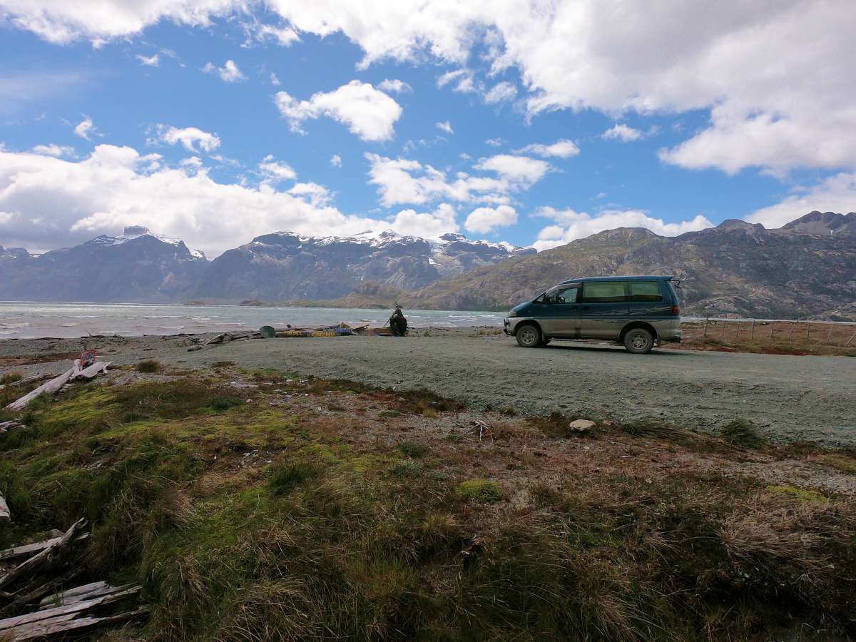
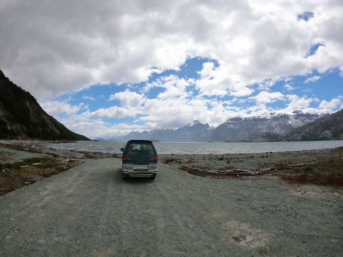
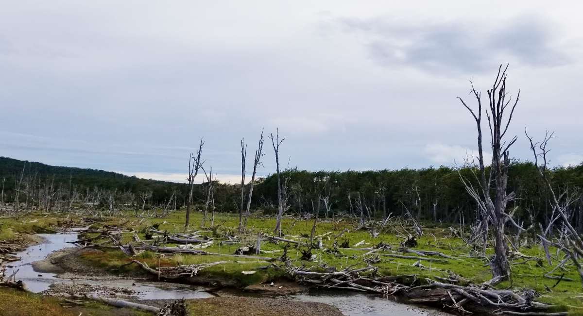
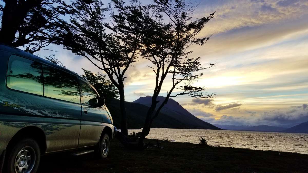
We decided to take the 10km detour from Pampa Guanaco towards Lago Blanco, to explore the area a bit and find a place to spend the night. The road to Lago Blanco was bumpy at times. We passed clearings in the forest where the native trees had been destroyed by beavers, an invasive species in the region. After a windy downhill we arrived to the shores of Lago Blanco. Lago Blanco is a huge lake, famous for fishing, with a small island in the middle and lined by mountains to the south. There are primitive campsites along the shore towards the south. Despite the strong winds we chose a spot close to the shore, with an impressing view of Cerro Cuchilla (Knife Hill). The shape of the summit fits perfectly with its name.
We were so intrigued by this mountain that the next day we woke up early to see if we could reach the 800m summit of Cerro Cuchilla. More on that here.
After two nights camping at Lago Blanco we decided to continue on. Overall we would highly recommend this isolated spot. We only met one other family camping with us during one of the nights of our stay. Just keep in mind this is NOT a calm, tranquil lake - the waves are huge, wind always roaring, and the water ice cold (yup, we jumped in to test it out).
To the Mountains We Go
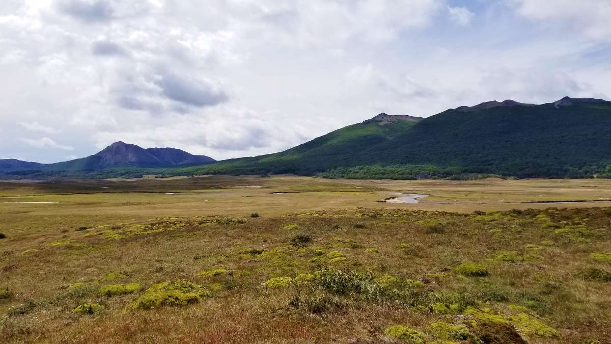
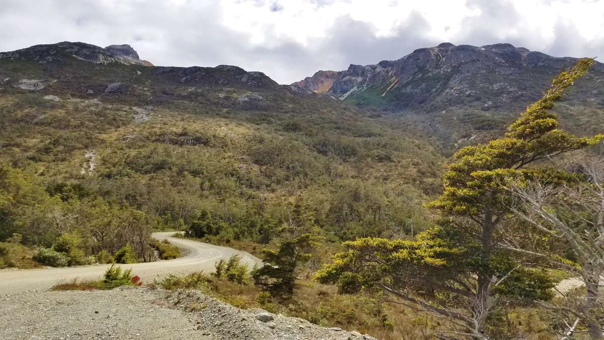
We continued our journey, returning briefly to Pampa Guanaco to use the public bathrooms located in a small settlement of houses on the side of the road. We also took advantage of an intermittent 3G connection (Entel) to check the weather for the next few days. Sun, rain, wind - the usual Patagonia. As we heading south towards Lago Fagnano, the landscape changed dramatically as we drove through Parque Karukinka. We were so excited to see the all-to-familiar flat pampas replaced by mighty mountains.
Tip: As the road becomes more narrow, watch out for guanacos jumping across the road. We had a couple close calls.
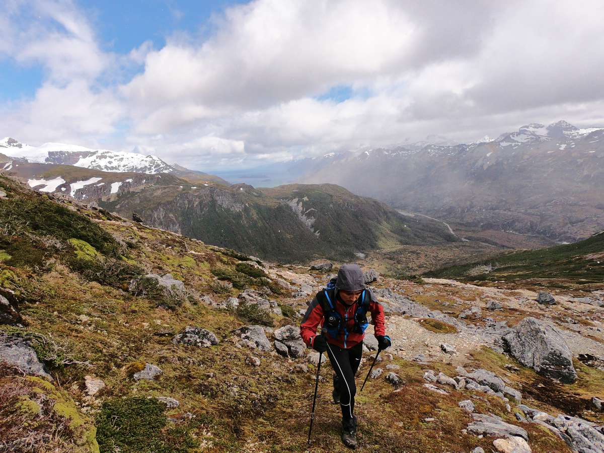
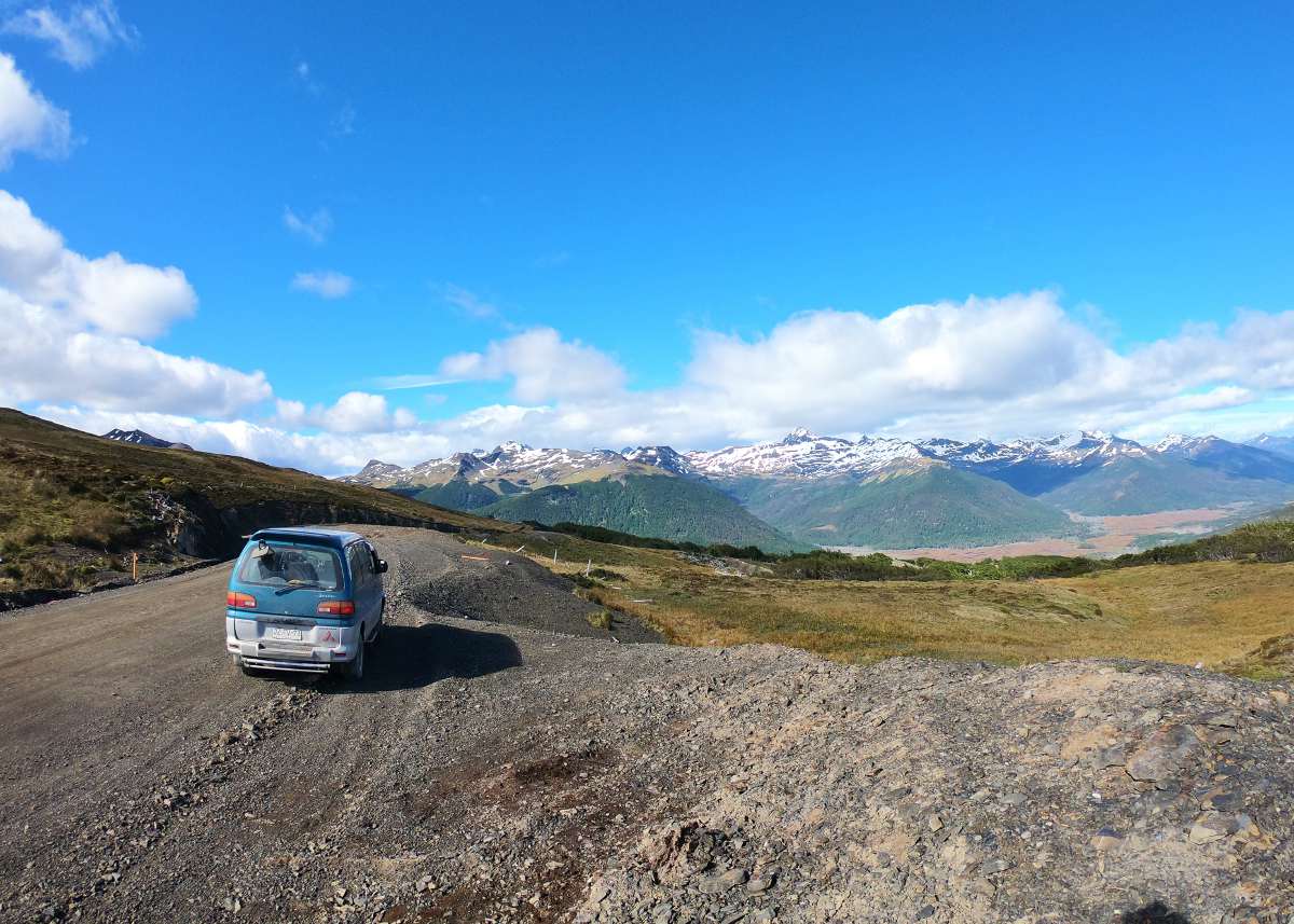
We made our first ascent in the mountains, arriving to a lookout point over Lago Deseado. From there you will find a spectacular view of the mountains of Tierra del Fuego, as well as Lago Encantado and Lago Deseado.
The route descends, then continues along a beautiful valley, and ascends again to climb a second mountain range. As we pushed uphill we wondered - what’s this route like in the winter? Now we really understood the hard and slow work of the Chilean Military Corps in building these remote mountain roads to connect the isolated south of the country. With a final descent we approached the famous Lago Fagnano.


Lago Fagnano
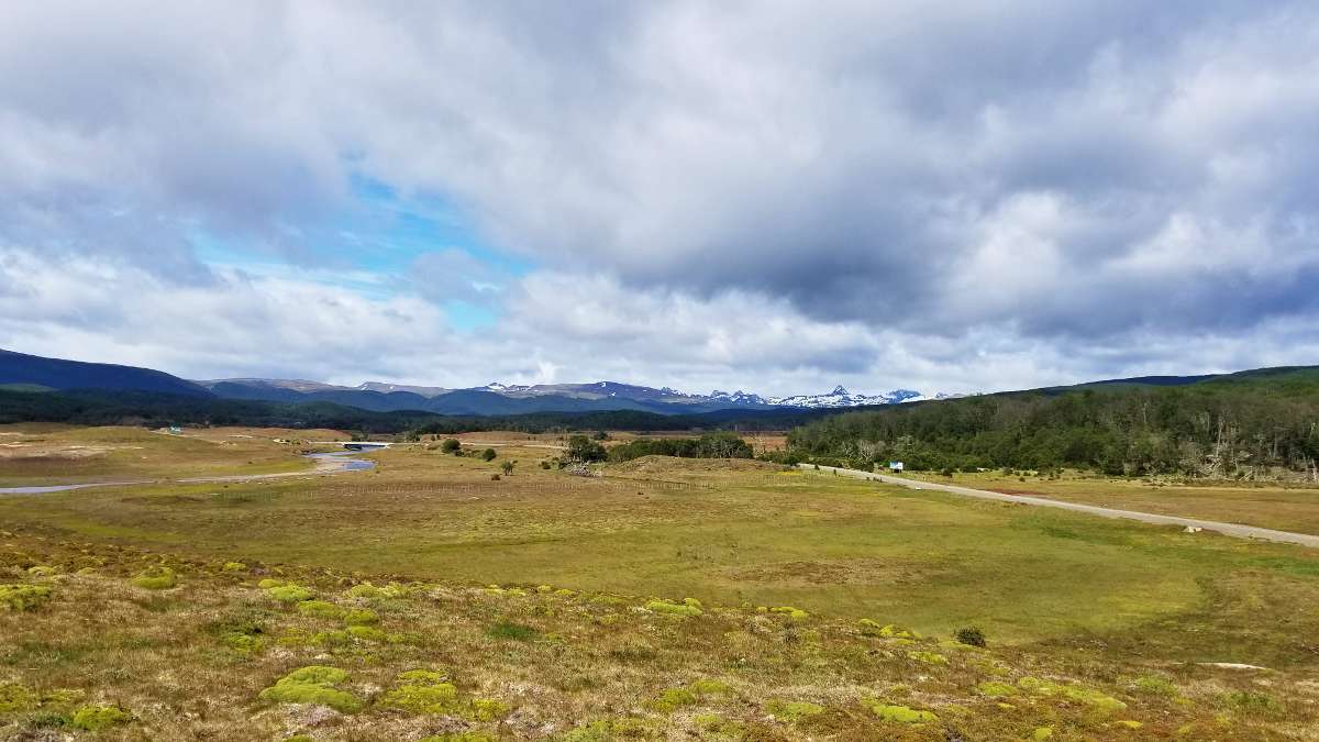
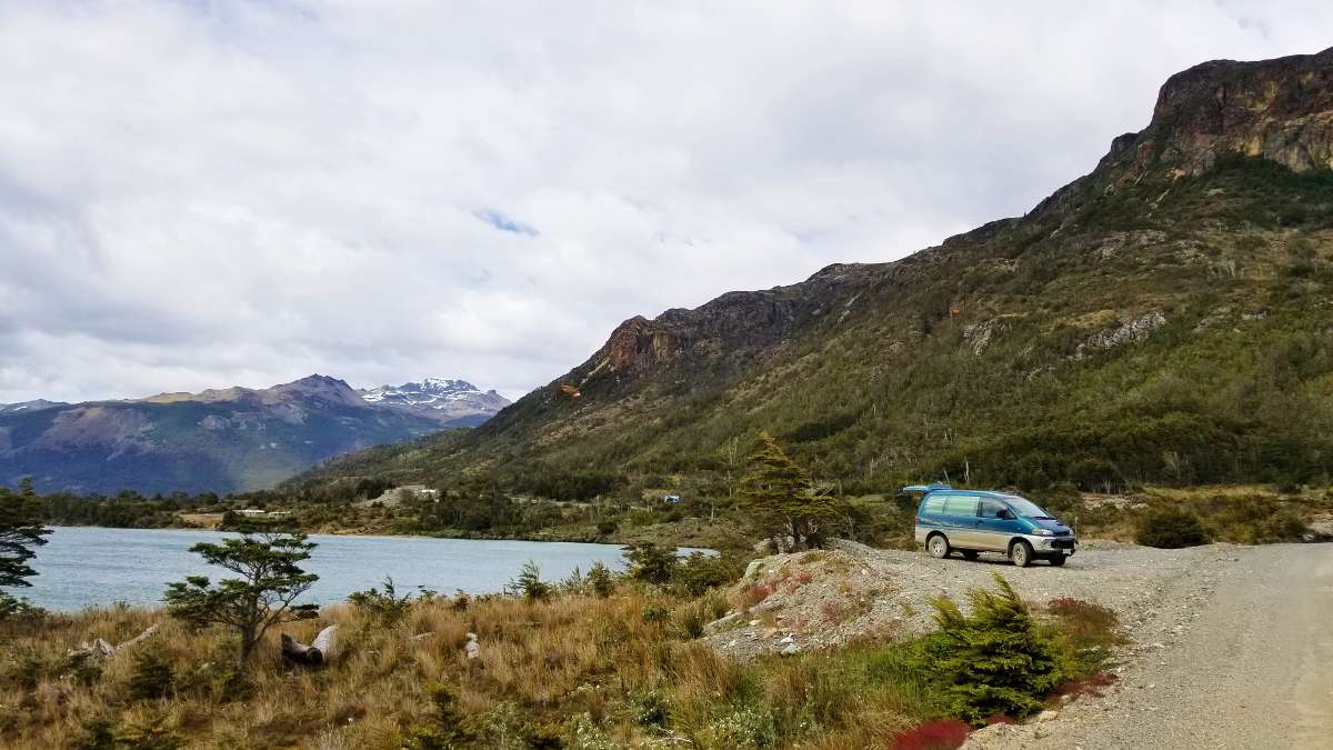
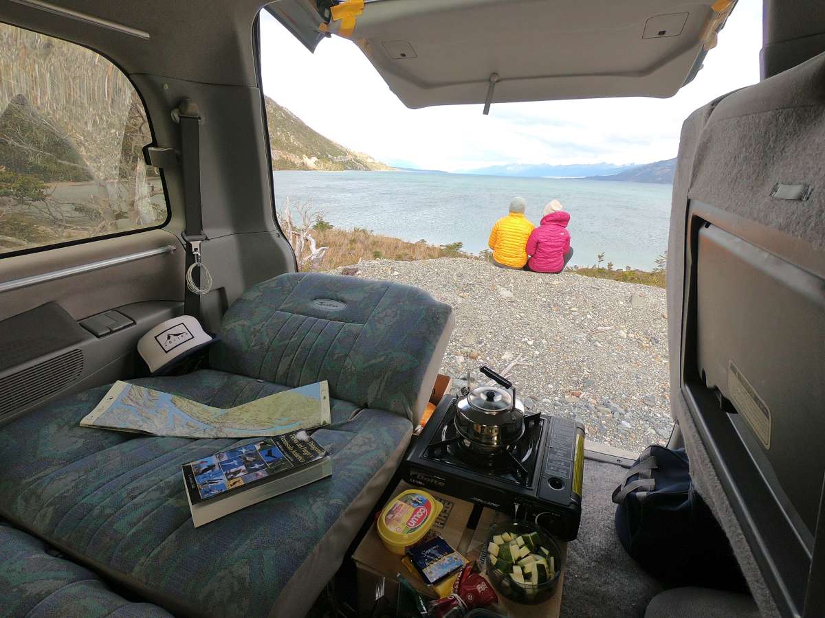
Lago Fagnano is a long and narrow lake shared by Chile and Argentina. We couldn’t believe we were finally here. After months earlier putting our fingers on this lake on a map and wondering if it was possible. We prepared the most delicious lunch on the shores of Lago Fagnano, contemplating how far we had come, while taking in the breathtaking views. We watched as an albatross flew overhead, fishing for its own lunch in the lake.
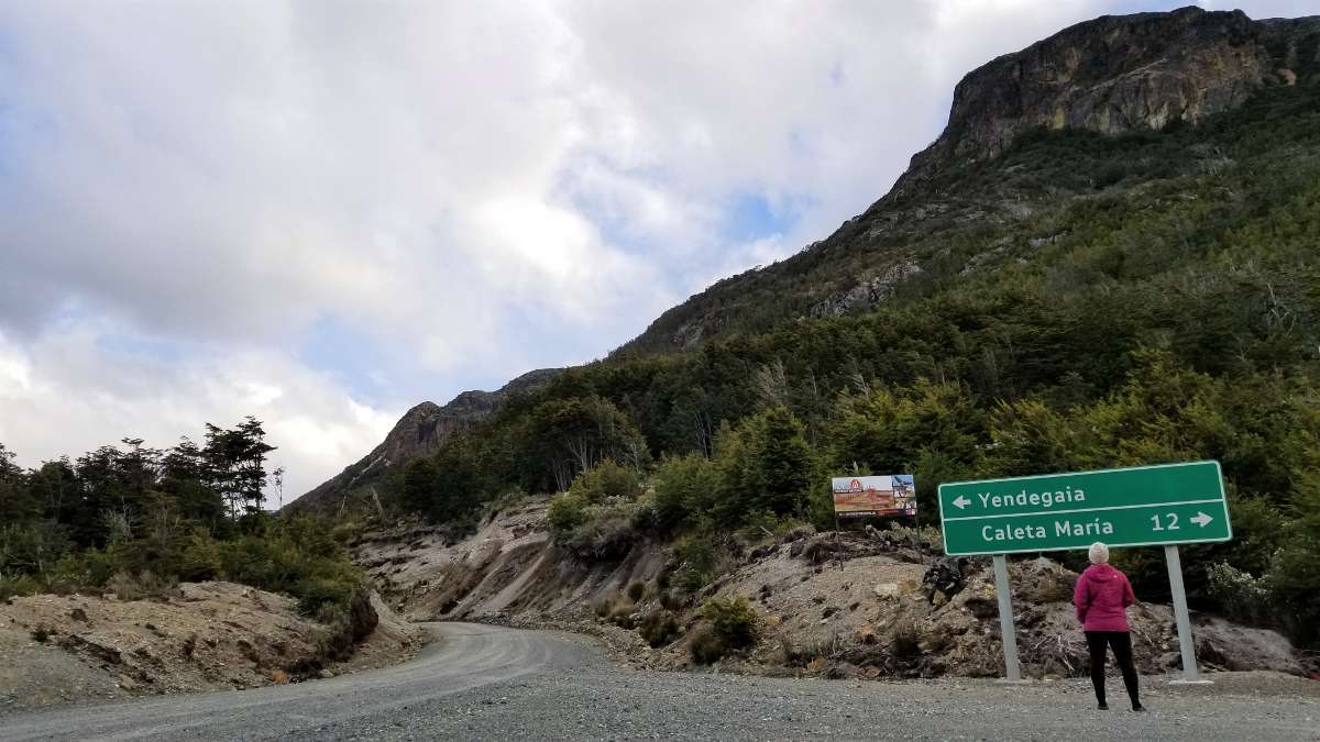
Another thing you’ll find at Lago Fagnano is a sign where the road forks: Caleta María 12km away and Yendegaia distance TBD. The Military Corps is still working on completing the route to Yendegaia, a military post which lies on the shores of the Beagle Canal on the southern end of Tierra del Fuego. For now we will take the route to the right and will follow the Azopardo River, which connects Lago Fagnano to Caleta María, where it empties into the Strait of Magellan.
Caleta María
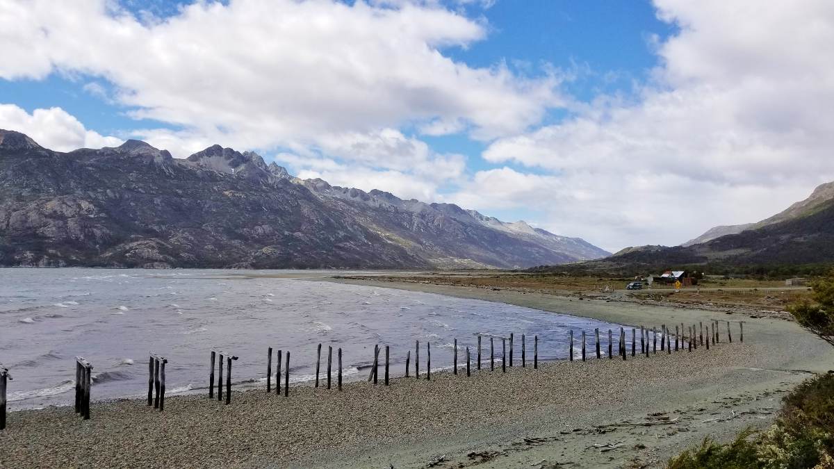
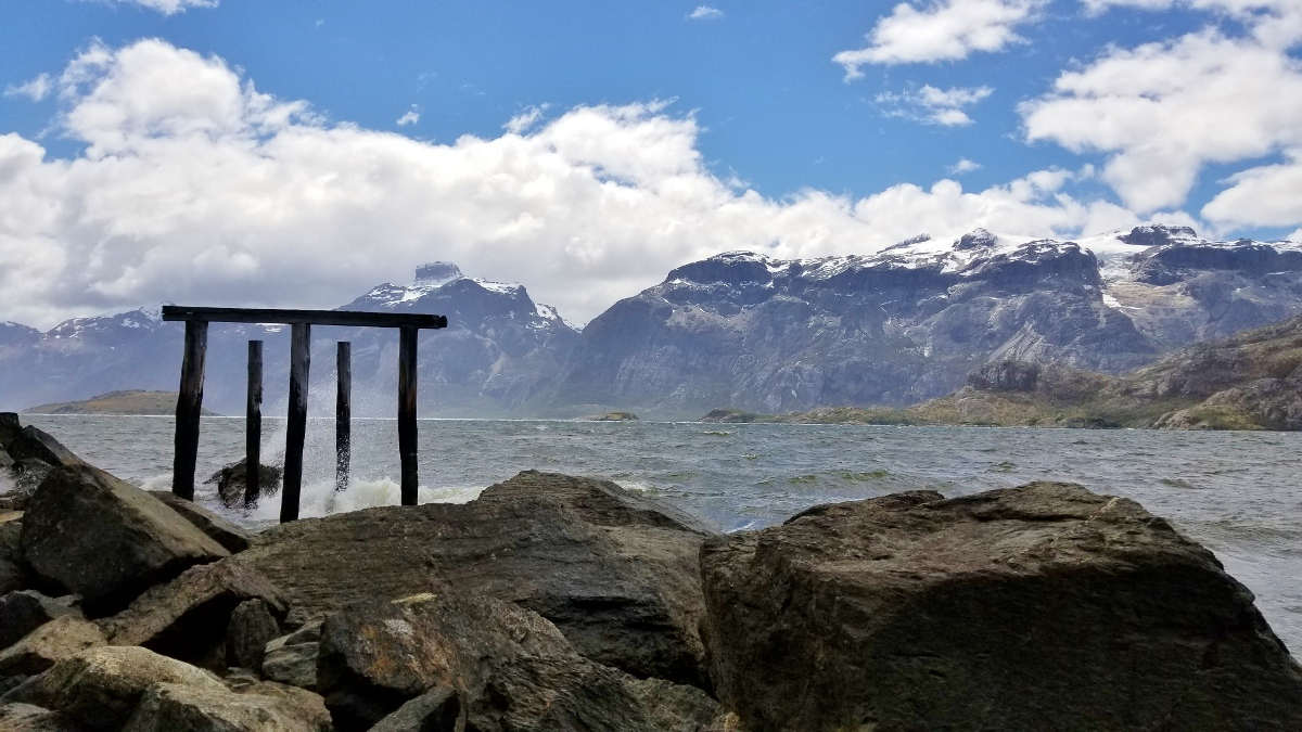
A landing strip, a small house, and a sign mark the end of the road. You are surrounded by such a harsh, beautiful, and pristine environment. The ocean that meets the shore here is the Almirantazgo Sound, which was declared a Protected Marine Area in 2018. The mountains to the left are part of Alberto de Agostini National Park and Yendegaia National Park. The mountains to the right are part of Karukina Natural Park.
After braving the winds to prepare a coffee at the end of the road, we decided to return towards Lago Fagnano to find a place to stay. On our way back we ended up making a short trek detour, more on that in a future post.
It’s finally time to head back north. Porvenir will be our last destination on our journey across Tierra del Fuego, Chile.
